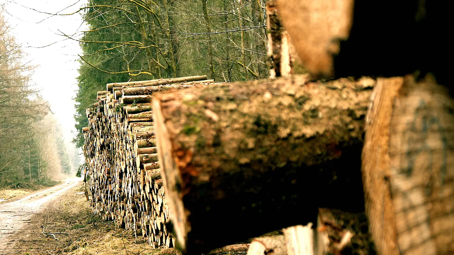
 Germany forest
Perlacher Forst
Sebastian Grünwald · CC BY 3.0
79% trees around it and 1,324 species recorded.
- trees within 3 km79%
- wild within 10 km63%
- species recorded1,324
- Altitude568 m
The forest around
79% trees.
Read like the rings of a cut trunk: from the centre out, the land within 1, 3, 6 and 10 km, coloured by what covers it.
Trees, ring by ring
- 0–1 km96%
- 1–3 km77%
- 3–6 km44%
- 6–10 km59%
What covers the land (1–3 km)
- Trees77%
- Grassland2%
- Water1%
- Bare ground0%
- Cropland5%
- Built-up15%
ESA WorldCover 2021 (10 m, from Sentinel satellites), sampled every 120 m. A clearing, a road or a lake counts as what it is.
Who lives here
1,324 species recorded.
The plants, fungi, birds and mammals people have recorded here most often.
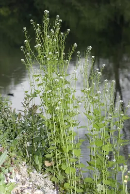
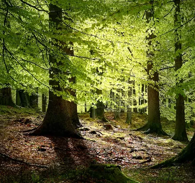
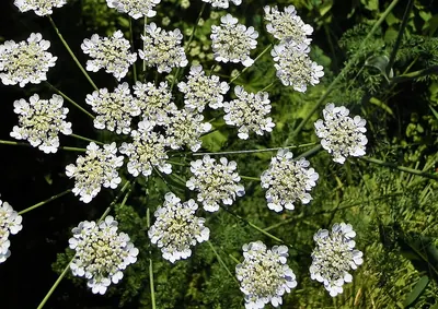
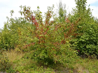
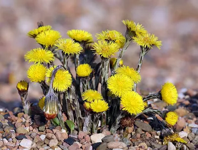
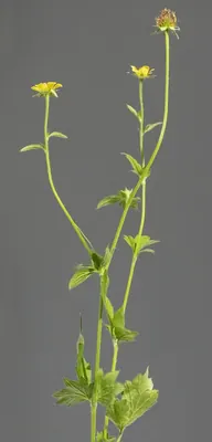
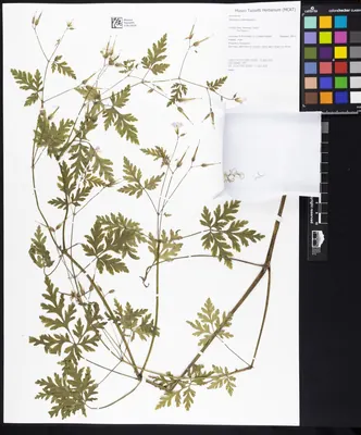
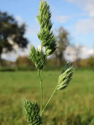
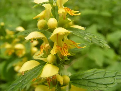
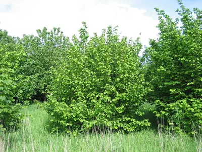
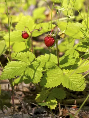
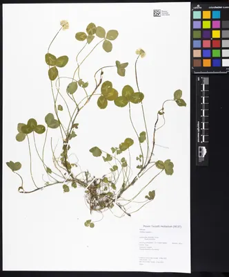
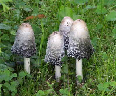
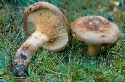
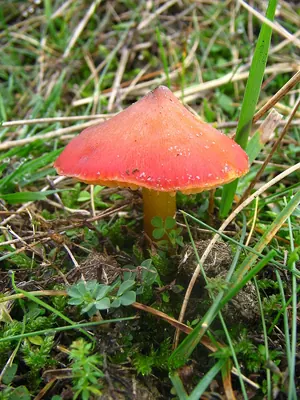
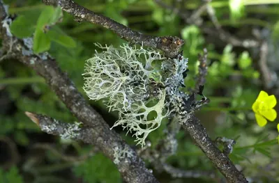
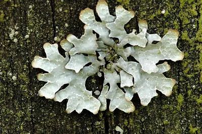
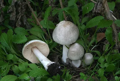
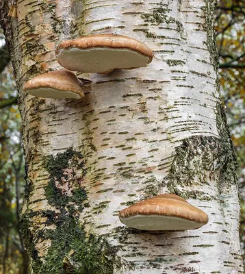
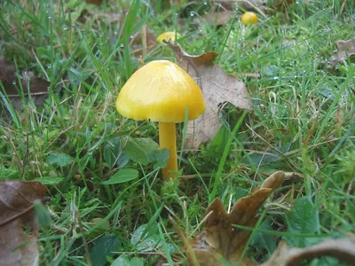
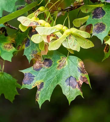
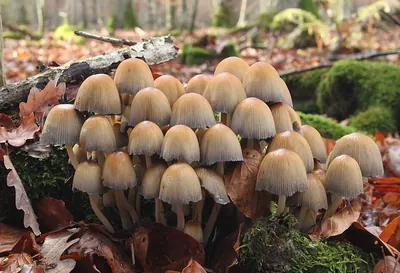
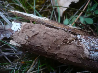
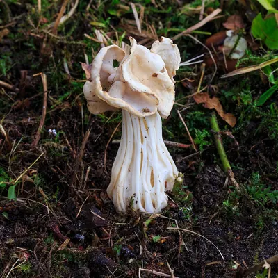
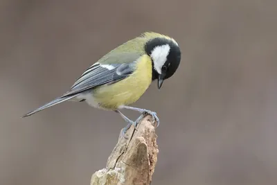
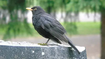
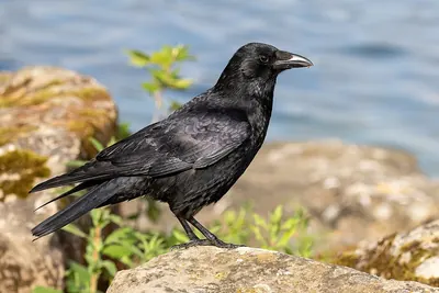
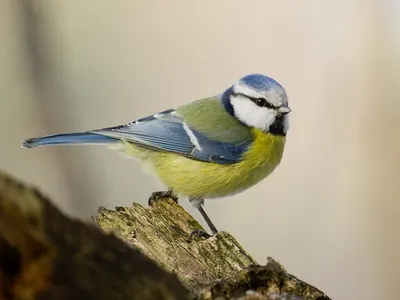
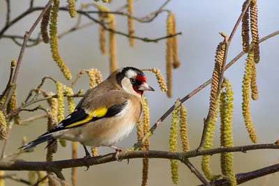
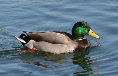
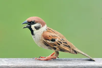
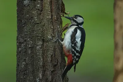
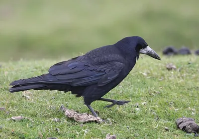
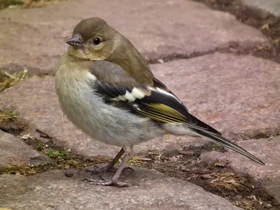
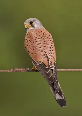
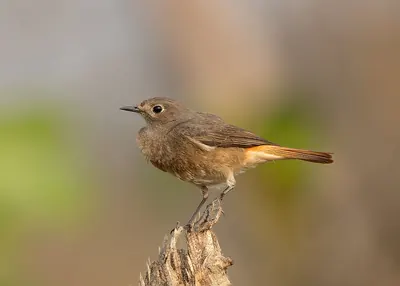
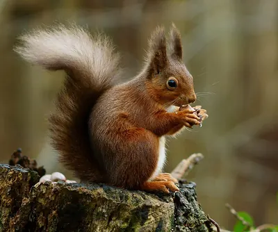
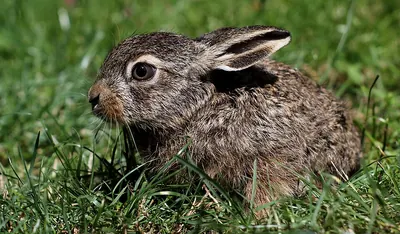
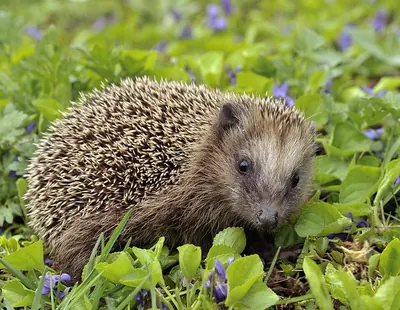 NT
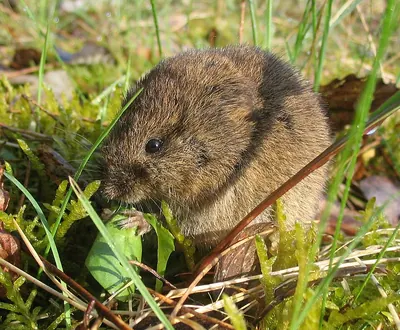
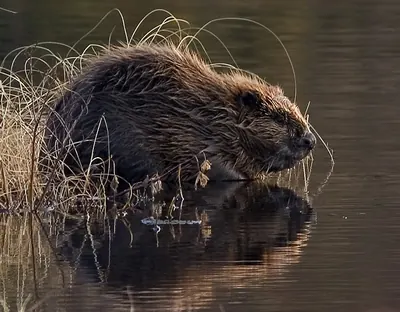
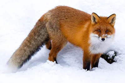

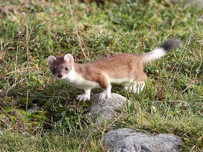

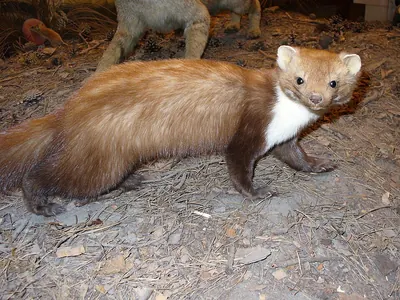
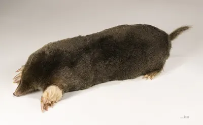
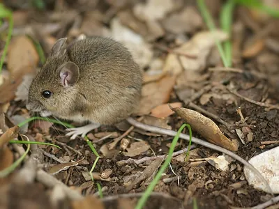
Open records within 5 km (GBIF, licensed for any use). Busy places are better recorded than remote ones.
In numbers
The forest, measured.
Our own rating, from open data only: tree cover (40 points), wildness (20), species recorded (30) and protection or heritage (10).
- 79%Treesof the land within 3 km
- 63%Wildno towns or farmland within 10 km
- 1,324Speciesrecorded more than once within 5 km
- 568 mAltitudeabove the sea
When to walk
Best for walking in May and in September.
How good each month is for a walk: mild days and little rain make the bar taller.
- Jan-5°78 mm
- Feb-4°61 mm
- Mar-1°72 mm
- Apr3°69 mm
- May8°124 mm
- Jun12°143 mm
- Jul13°138 mm
- Aug13°143 mm
- Sep9°95 mm
- Oct4°80 mm
- Nov0°62 mm
- Dec-3°68 mm
- Bar: walking comfort; the number on top is the average maximum.
- Below: average minimum (NASA, 1991–2020).
- Rain: monthly total.
The place
Perlacher Forst.
Unincorporated area in Germany
Perlacher Forst is a forest in Germany, 568 m above the sea.
Seen from space, 79% of the land within 3 km is trees, and 63% of the land within 10 km has no towns or farmland.
1,324 species have been recorded around it: 1,000 plants, 104 fungi, 179 birds and 41 mammals.
The most recorded plants are: Garlic Mustard, European Beech and Bishop's goutweed.
The best time to walk is in May and in September.
Get there and walk
- Campingplatz Thalkirchencampsite · 3.7 km · 2 within 10 km
- Hotel Kölblplace to stay · 2.2 km · 438 within 10 km
- Unterhachingnearest town · 2.9 km in a straight line
- Munich Airport (MUC)nearest airport with scheduled flights · 35 km in a straight lineCar hire at MUC airport (Munich)Discover Cars · sponsored link↗
Plan the visit
A guided walk, a bed nearby, a car.
Some links above are affiliate links: if you book through them we may earn a commission, at no extra cost to you. It never changes what the data on this page says.
From above
The forest and its surroundings.
The satellite image of the 6 × 6 km around the place, with the trails, notable trees, picnic sites and huts that OpenStreetMap shows.
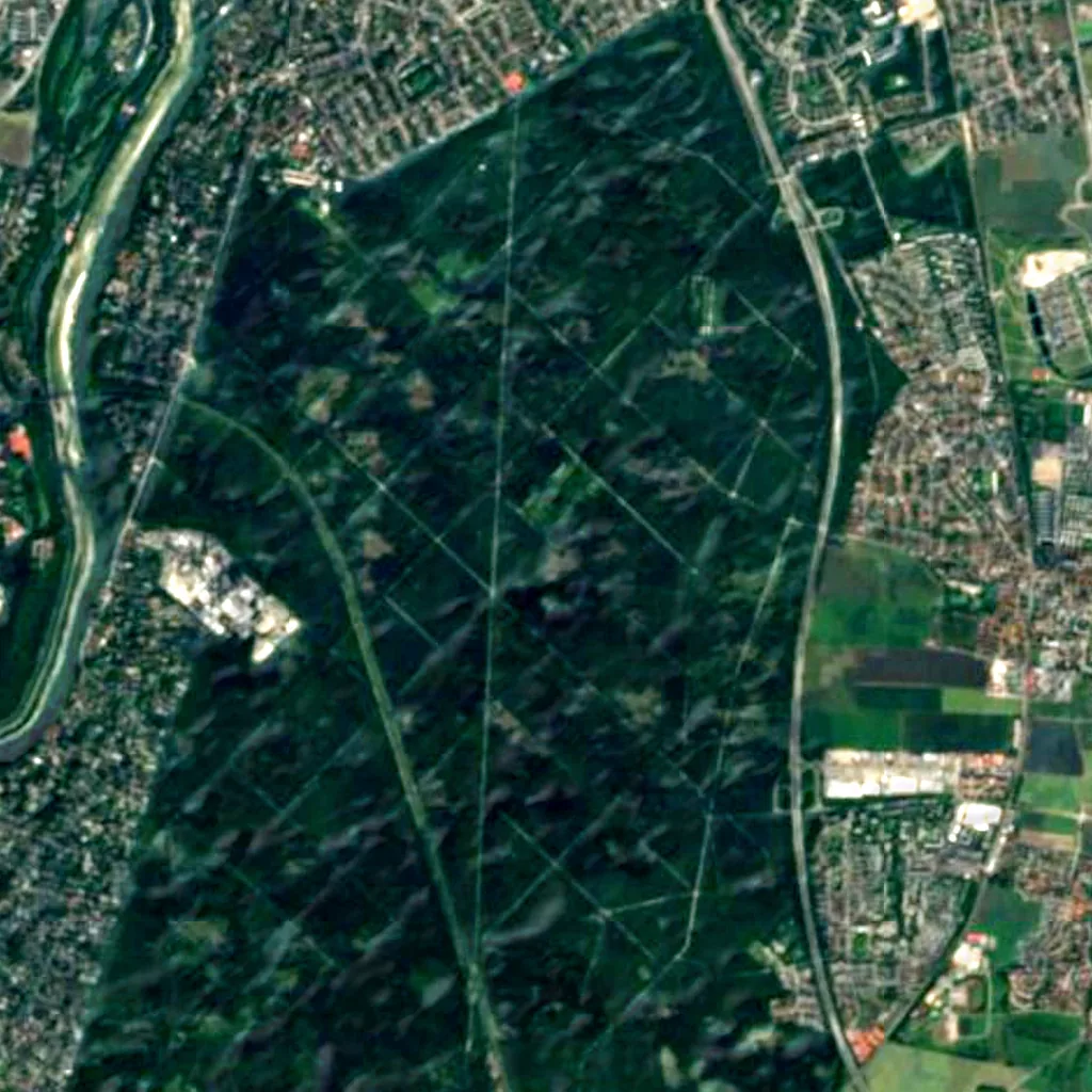
Around, in OpenStreetMap
- 6marked trails within 5 kmMünchner Jakobsweg, Traumpfad München-Venedig, Walderlebnispfad Grünwald and 3 more
- 16named and notable trees within 6 kmVerfassungslinde, Jubiläumsbuche, Friedenseiche and 13 more
- 95picnic sites within 4 km
- 548shelters and huts within 6 kmWetterpilz, Vogelanger and 546 more
- 16viewpoints within 5 kmSteg an der Marienklause, Isartalblick aufs Stauwehr, Blick auf Burg Grünwald and 13 more
- 2visitor centres within 6 kmService-Center, Informationshaus
- 481car parks within 3 km
- 2campsites within 10 kmCampingplatz Thalkirchen, Parkanlage Dulipphof
- 438places to stay within 10 kmHotel Kölbl, Jugendherberge Burg Schwaneck, Hotel am Hachinger Bach and 435 more
- 63restaurants and cafés within 3 km
Counted in OpenStreetMap, the map anyone can edit. A low number may just mean nobody has mapped it yet.
In our other atlases
Around Perlacher Forst.
The mountains, lakes, rivers, waterfalls and canyons around this forest, the viewpoints above it, the birds and the night sky, in the family's atlases.
 Peakyas29 mountains within 25 km
 Darkskyas3 dark-sky places within 30 km
 Viewyas3 viewpoints within 15 kmComing soon
 Birdyas2 birding sites within 25 km
 Cascadyas1 waterfalls within 15 km
Figures from the sister sites' databases (Wikidata, HydroATLAS, GeoNames, OpenStreetMap). Links open when each site is online.
Photographs
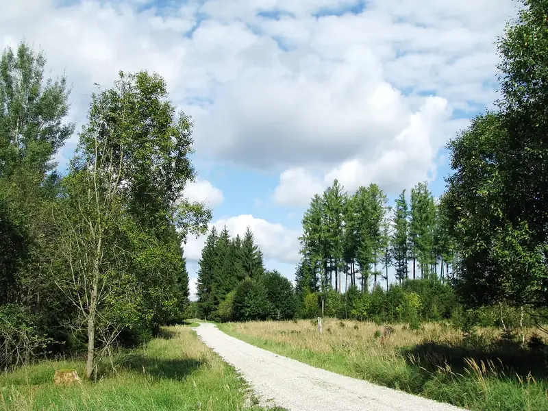
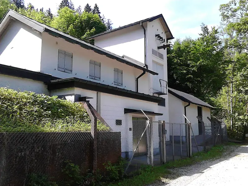
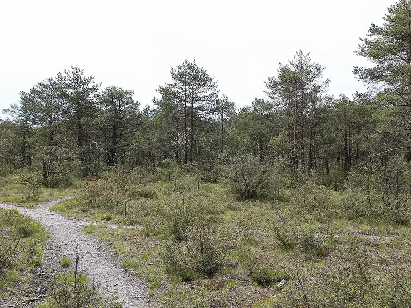
The forest, as people saw it.
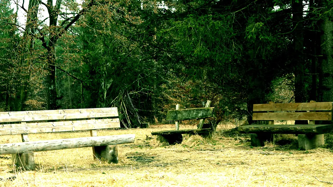
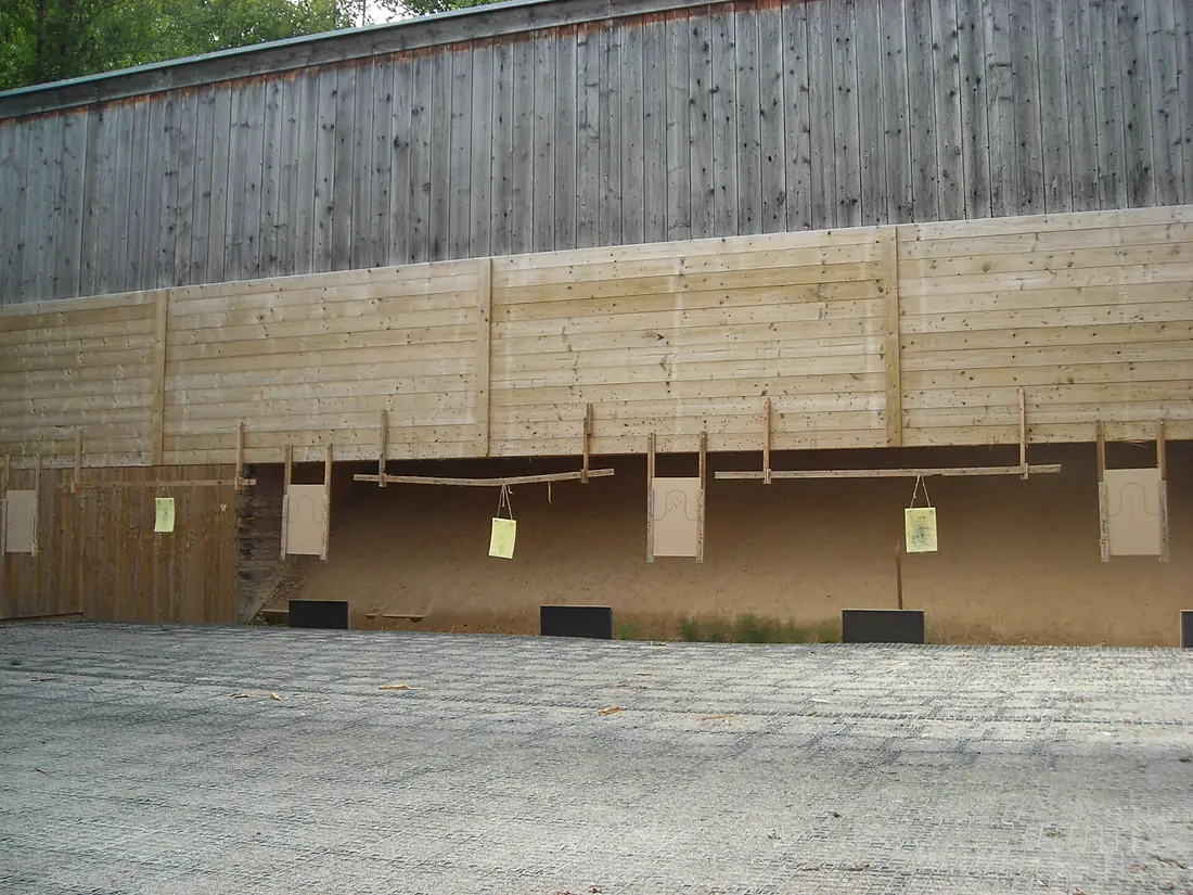
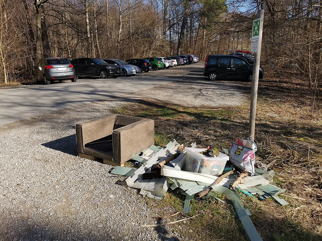
Other forests nearby.
Perlacher Forst
Germany
- 72Forestyas Score
- 79%Trees
- 63%Wild
- 1,324Species
Where these figures come from
| Name and type | Wikidata (Q252634) · CC0 |
|---|---|
| Land cover | ESA WorldCover 10 m 2021 v200 · © ESA WorldCover project / Copernicus Sentinel data · CC BY 4.0 |
| Species | 93,524 open records within 5 km (GBIF, CC0 and CC BY 4.0 only) |
| See these records | gbif.org |
| Names and photos | Wikidata (CC0); GBIF Backbone Taxonomy · CC BY 4.0; Wikimedia Commons |
| Altitude | Copernicus DEM GLO-30 · © DLR e.V., © Airbus Defence and Space GmbH, Copernicus/ESA |
| Temperature and rain | NASA POWER (CERES SYN1deg, 2001–2020; MERRA-2) |
| What is around | © OpenStreetMap contributors · ODbL |
| Images | EOX Sentinel-2 cloudless 2016 · CC BY 4.0; Wikimedia Commons |
| Sister atlases | Peakyas, Darkskyas, Viewyas, Birdyas, Cascadyas |
Every figure is an average, an estimate or a count from a public dataset. Licences and methods: data sources.
The family
Do you prefer beaches, lakes, mountains, waterfalls, islands, rivers, canyons, caves, dark skies, viewpoints, birdwatching or forests?
Same idea, other landscapes: field atlases built on open data, in seven languages.
 beaches
 Find your beach: sea temperature, sun and swimming month by month.Visit
 lakes
 Every lake on Earth: water temperature, ice, depth and the shore.Visit mountains
 Every summit in 3D: summit weather, the 0 °C line, huts and trails.Visit waterfalls
 Every waterfall: height, flow month by month and when it roars.Visit
 islands
 Every island from the sea up: size, sea temperature, ferries and 3D.Visit
 rivers
 Every river from source to sea: the journey, the flow and the basin in numbers.Visit
 canyons
 Every canyon cut to scale: depth to the floor, rim and floor temperatures, trails and viewpoints.Visit
 caves
 Every cave with its real depth and length: the rock above, the temperature inside all year, and how to visit.Visit dark skies
 Where the night is still dark: the sky of every place, the Milky Way month by month, the Moon, eclipses and auroras.Visit viewpoints
 Every viewpoint with its real 360° panorama: the peaks you can name, how far you see and where the sun sets.Coming soonVisit birdwatching
 Every bird sanctuary and wetland with the species recorded month by month: who is resident, who comes for the summer, who only passes through.Visit
 forests
 Every forest with its land-cover rings, what grows and lives in it, and the best months to walk it.You are here