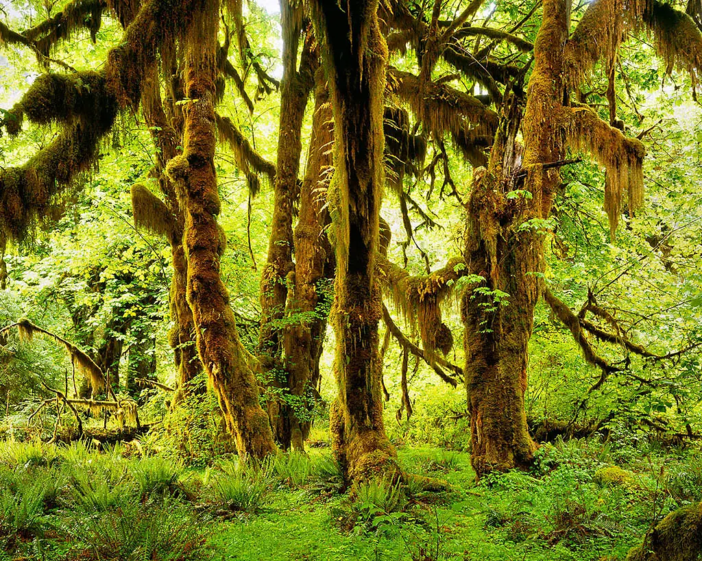
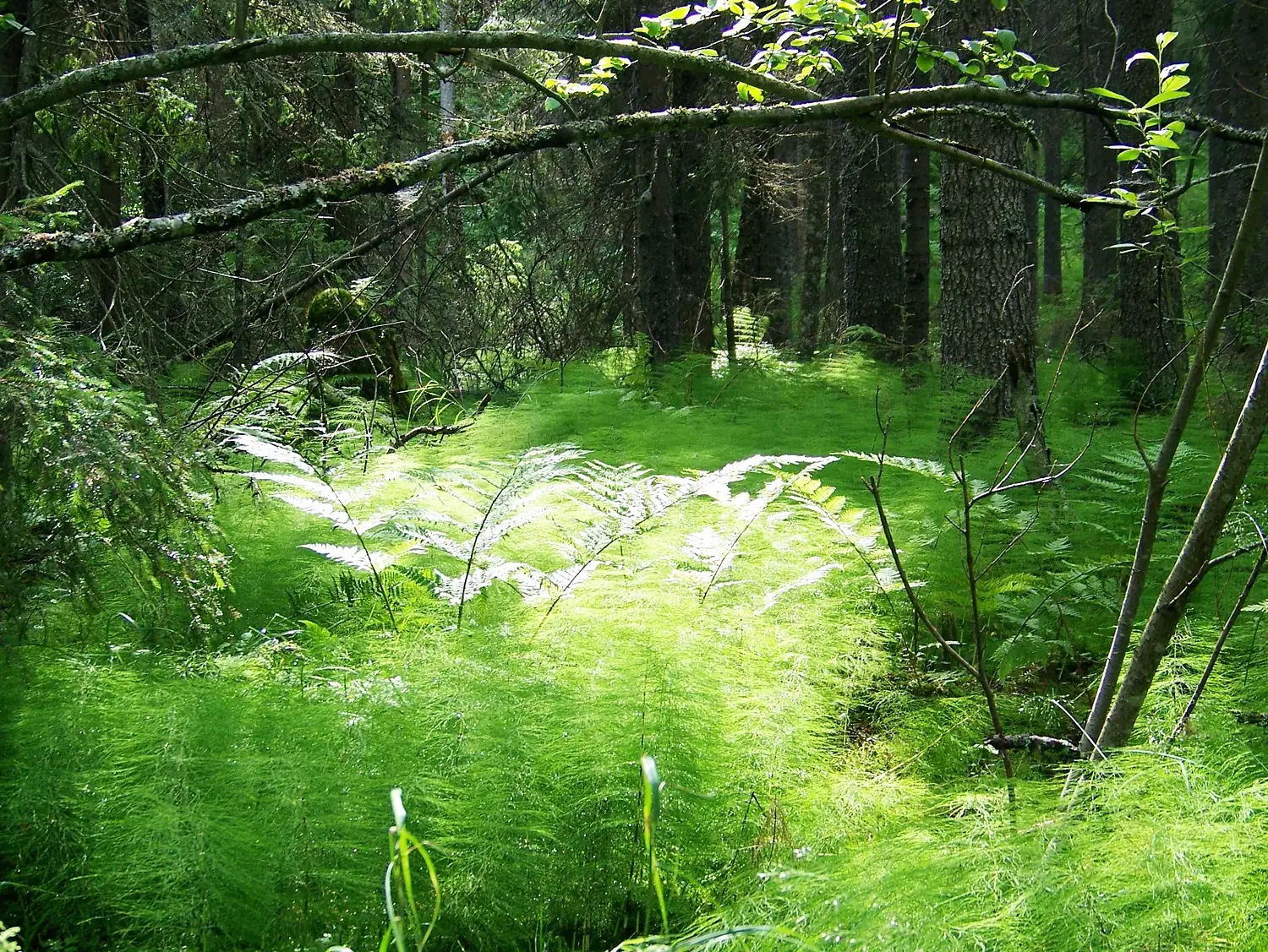
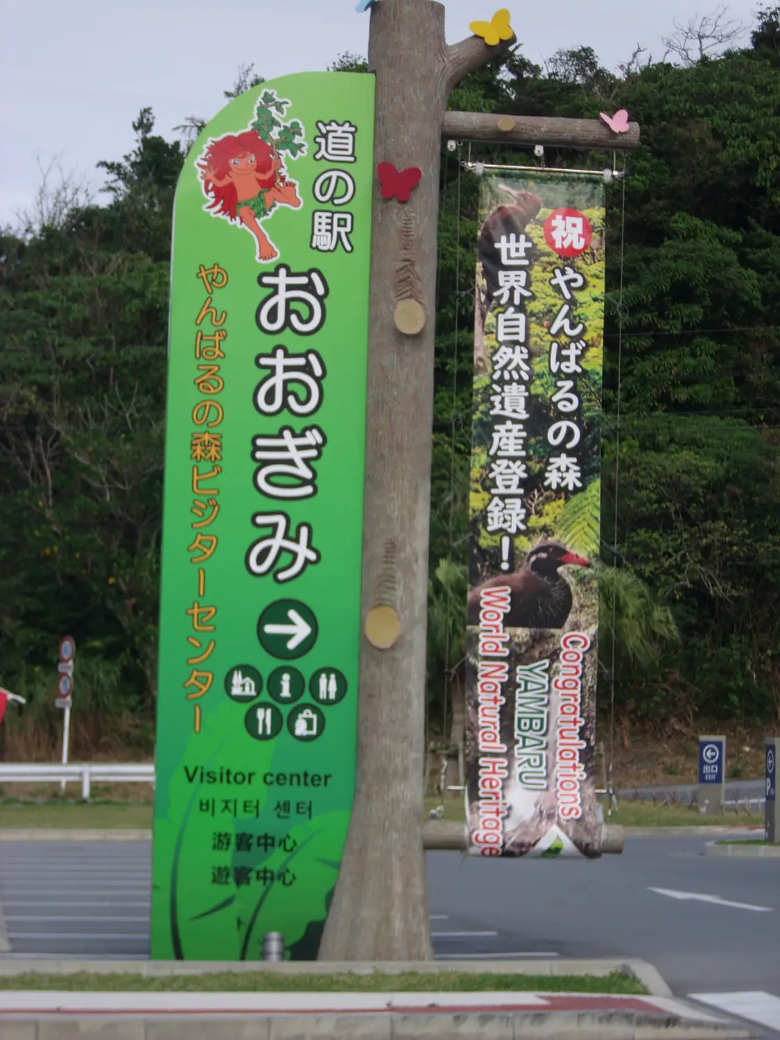
The forest atlas
Walk into the world's forests.
Every forest, arboretum and great tree with its rings of land cover from space, what grows and lives there, and the best months to walk it.
Places among trees
Choose your forest.
Forests, national and protected forests, arboretums and the great trees people travel to see.
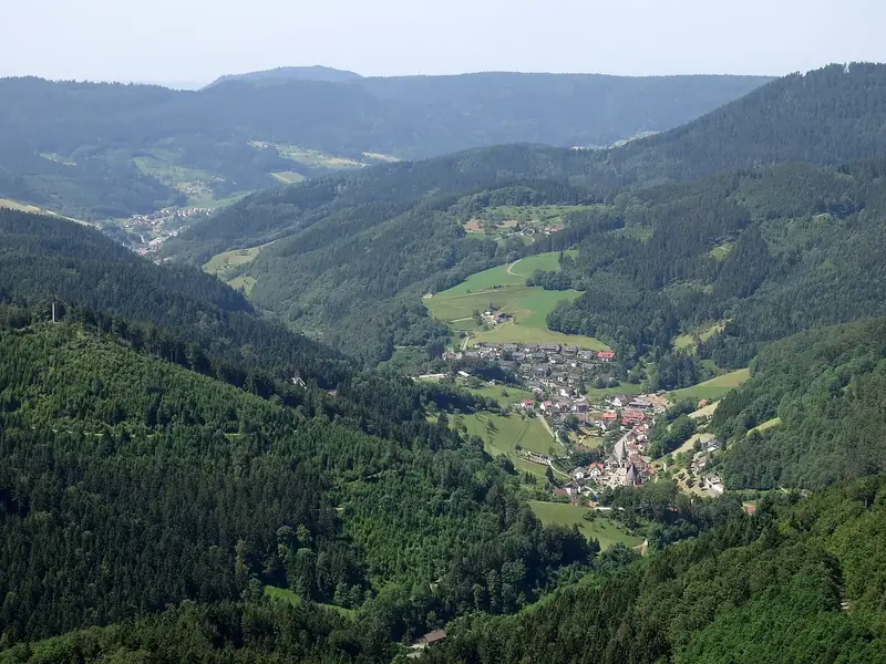 ForestsWoods, rainforests, taiga and groves553 places
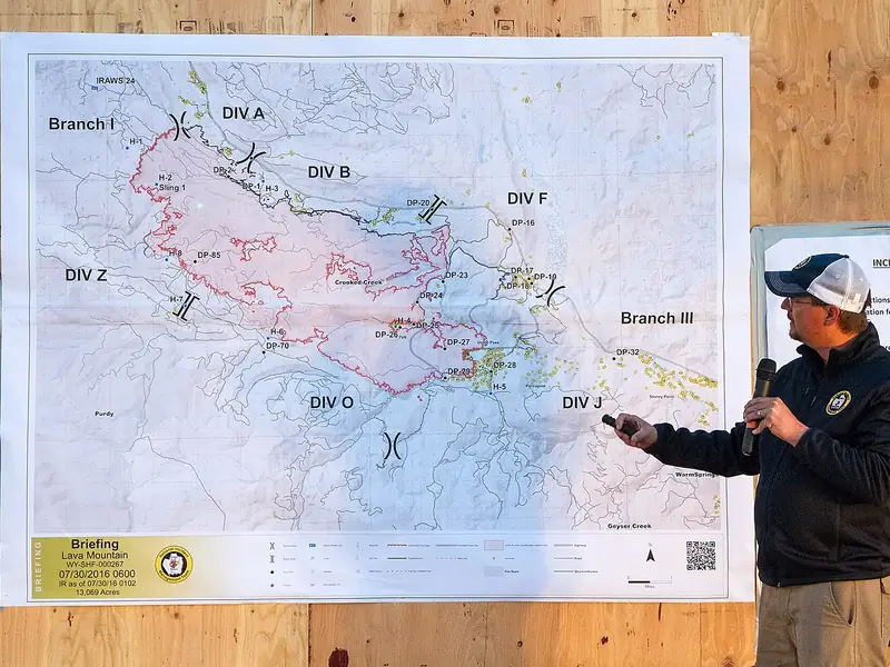 National forestsThe great public forests of the United States119 places
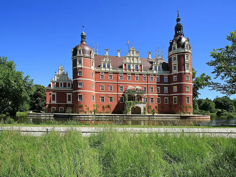 Protected forestsForests under legal protection44 places
 ArboretumsLiving collections of trees234 places
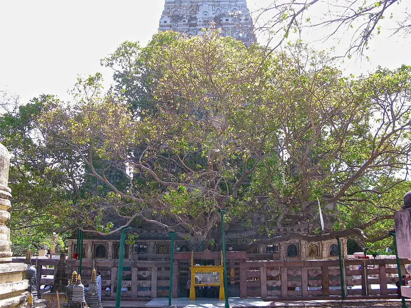 Notable treesThe oldest, tallest and most loved trees103 places
Or choose by what you will find
Measured for every guide: dense canopy, wild land, mangroves, mountain forests, rich in fungi, birds or mammals, World Heritage.
 Dense forests85% trees or more within 3 km214 places
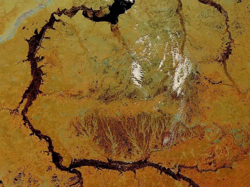 Wild forestsNo towns or farmland within 10 km259 places
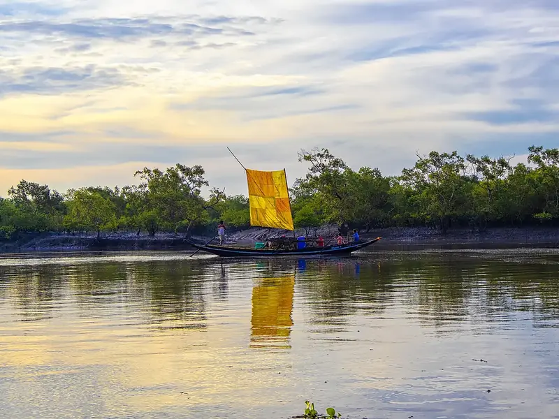 MangrovesForests where the sea comes in7 places
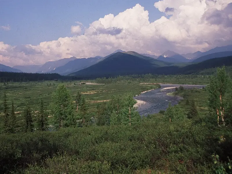 Mountain forests1,000 metres or higher172 places
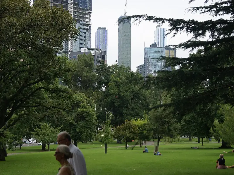 Forests for fungiForty fungi species or more recorded266 places
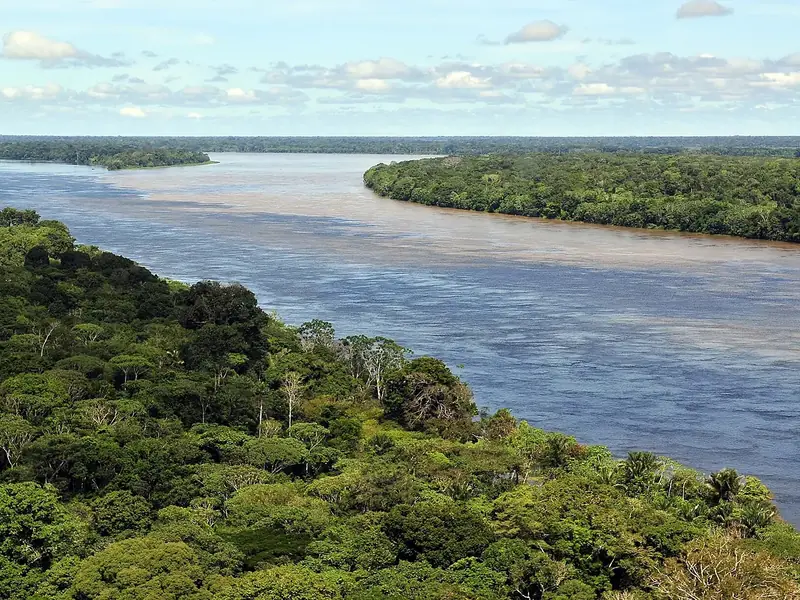 Forests for birds120 bird species or more recorded407 places
 Forests for wildlifeFifteen mammal species or more recorded216 places
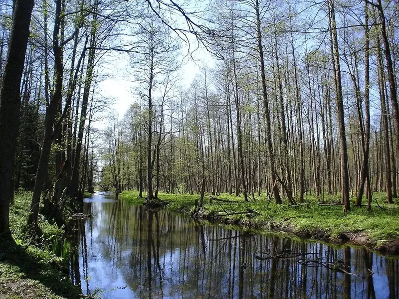 World Heritage forestsListed by UNESCO51 places
Tree cover
The densest forests.
The share of land covered by trees within 3 km, measured on the European Space Agency's 10-metre map of the world.
 United States · national forest100% trees2Kaeng Krachan Forest Complex
 Thailand · forest100% trees3Waipoua Forest
 New Zealand · forest100% trees4Batu Apoi Forest Reserve
 Brunei · forest100% trees5Iwokrama Forest
 Guyana · forest100% trees6Central Suriname Nature Reserve
 Suriname · forest100% trees7Ituri rainforest
 DR Congo · forest100% trees8Trairão National Forest
 Brazil · forest100% trees9Chimalapas montane forests
 Mexico · forest100% trees10National Forest TapajósBrazil · forest100% trees
This month
The best forests to walk in January
Forests where this is one of the best months to walk: mild days and little rain.
 99%trees92forestYanbaru
 Japan601 species recorded · Best month
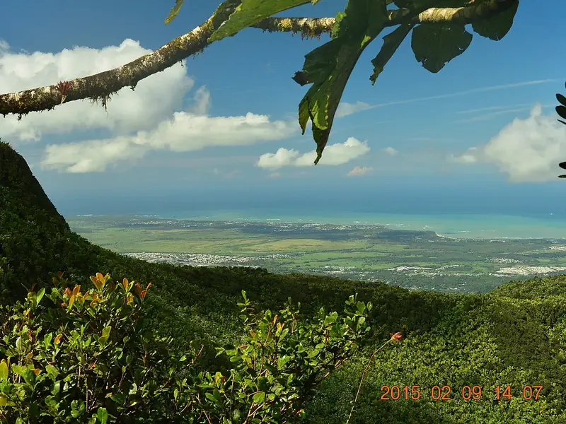 100%trees92national forestEl Yunque National ForestUnited States1,143 species recorded · Best month
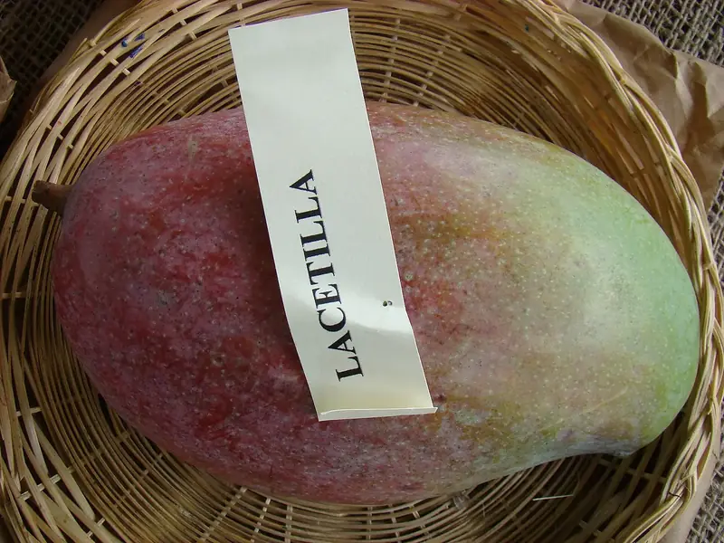 96%trees89arboretumLancetilla Botanical Garden
 Honduras602 species recorded · Best month
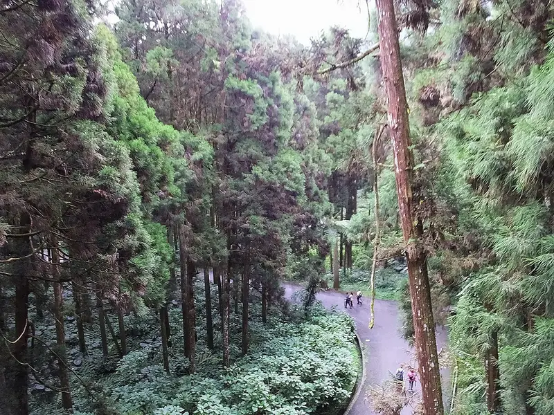 99%trees88forestXitou Nature Education Area
 Taiwan859 species recorded · Best month
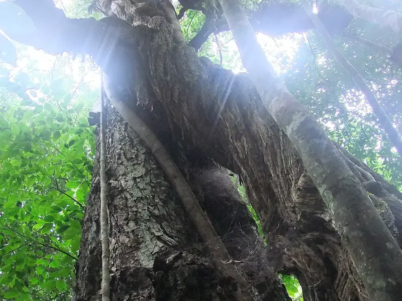 99%trees87forestBudongo Forest
 Uganda783 species recorded · Best month
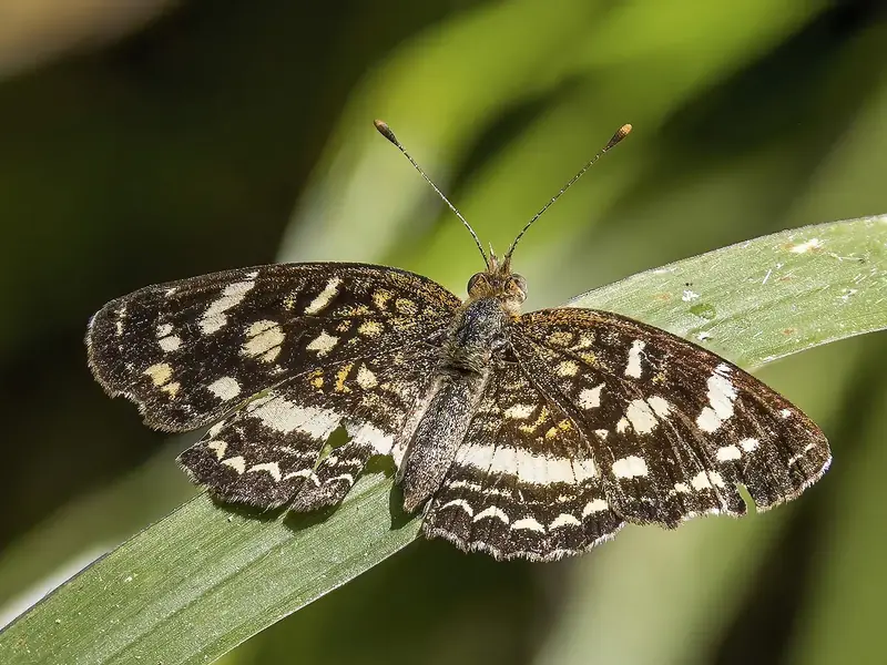 86%trees87arboretumBelize Botanic Gardens
 Belize397 species recorded · Best month
 93%trees87national forestGola National Forest
 Liberia262 species recorded · Best month
 72%trees87arboretumLas Cruces biological station and Wilson botanical garden
 Costa Rica1,404 species recorded · Best month99%trees92forestYanbaruJapan601 species recorded · Best month100%trees92national forestEl Yunque National ForestUnited States1,143 species recorded · Best month96%trees89arboretumLancetilla Botanical GardenHonduras602 species recorded · Best month93%trees87national forestGola National ForestLiberia262 species recorded · Best month72%trees87arboretumLas Cruces biological station and Wilson botanical gardenCosta Rica1,404 species recorded · Best month
 96%trees87forestHuisun Forest Recreation AreaTaiwan677 species recorded · Best month
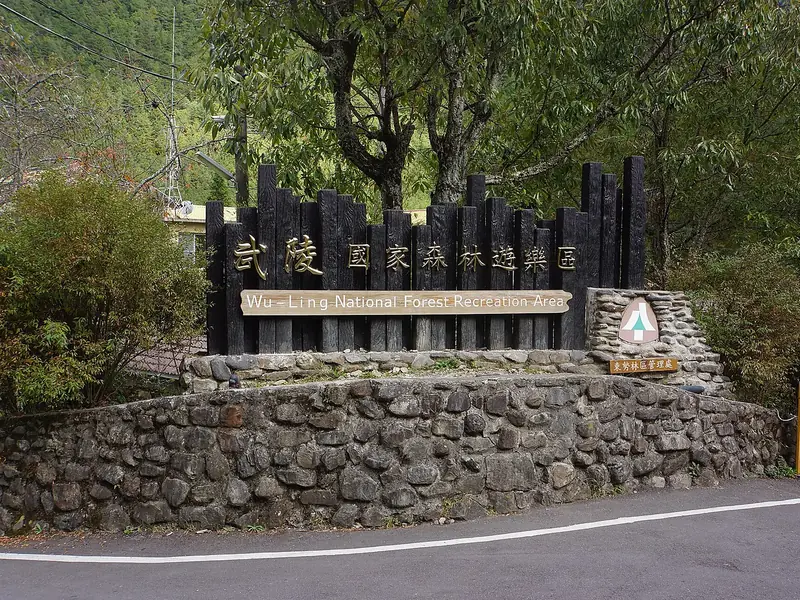 96%trees86forestWuling National Forest Recreation AreaTaiwan618 species recorded · Best month
 95%trees85forestLas Nieves Natural Park
 Spain465 species recorded · Best month100%trees92national forestEl Yunque National ForestUnited States1,143 species recorded · Best month93%trees87national forestGola National ForestLiberia262 species recorded · Best month
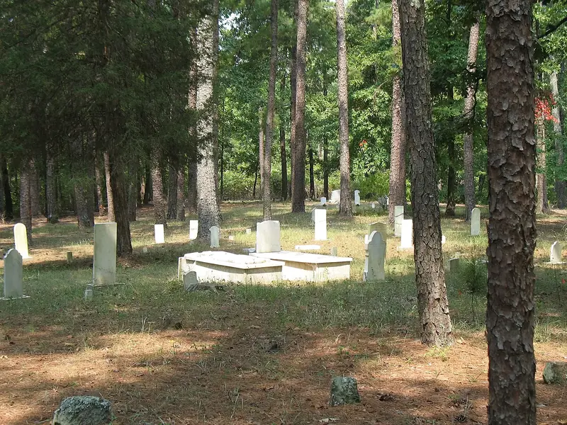 94%trees87national forestTombigbee National ForestUnited States253 species recorded · Best month96%trees87forestHuisun Forest Recreation AreaTaiwan677 species recorded · Best month96%trees86forestWuling National Forest Recreation AreaTaiwan618 species recorded · Best month
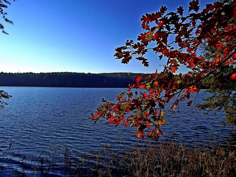 90%trees86national forestUwharrie National ForestUnited States212 species recorded · Best month95%trees85forestLas Nieves Natural ParkSpain465 species recorded · Best month
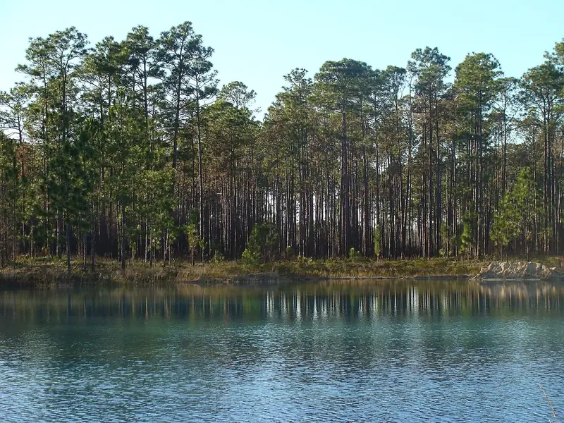 94%trees85national forestApalachicola National ForestUnited States172 species recorded · Best month
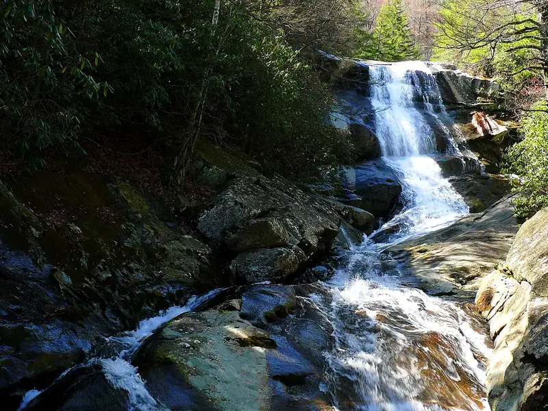 100%trees89national forestPisgah National ForestUnited States452 species recorded · Best month
 85%trees89national forestKaibab National ForestUnited States432 species recorded · Best month
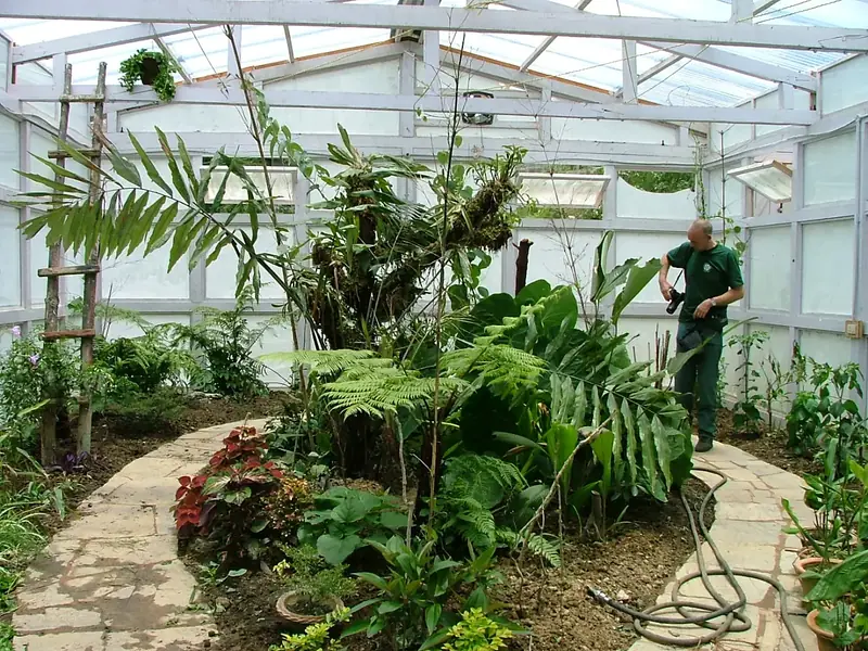 97%trees87arboretumRoyal Botanical Garden
 Bhutan376 species recorded · Best month96%trees86forestWuling National Forest Recreation AreaTaiwan618 species recorded · Best month90%trees86national forestUwharrie National ForestUnited States212 species recorded · Best month
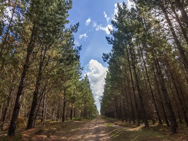 92%trees86forestBelanglo State Forest
 Australia559 species recorded · Best month95%trees85forestLas Nieves Natural ParkSpain465 species recorded · Best month
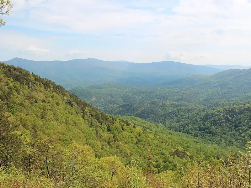 97%trees85national forestChattahoochee–Oconee National ForestUnited States172 species recorded · Best month
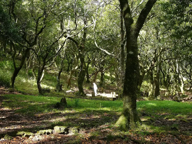 86%trees92forestLaurisilva of Madeira
 Portugal537 species recorded · Best month
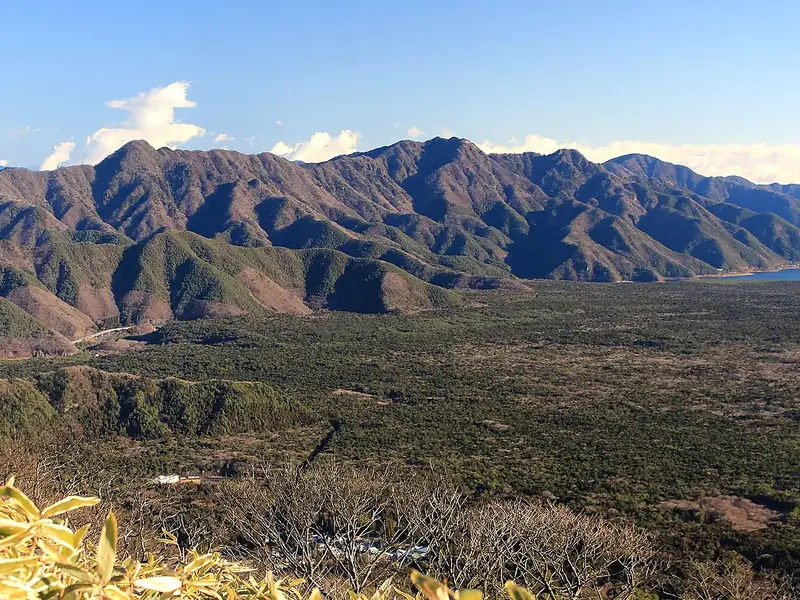 99%trees90forestAokigaharaJapan371 species recorded · Best month
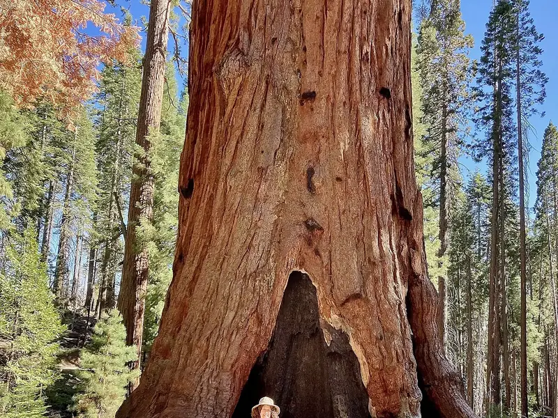 99%trees90forestMariposa GroveUnited States353 species recorded · Best month96%trees88forestBiałowieża Forest
 Belarus240 species recorded · Best month
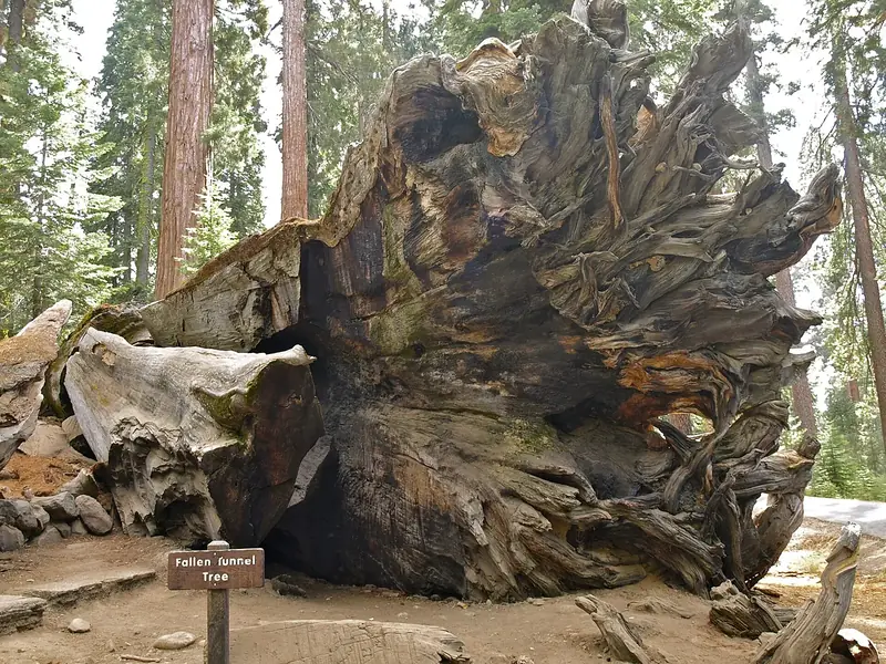 95%trees88notable treeWawona TreeUnited States187 species recorded · Best month
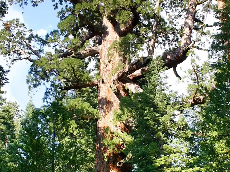 98%trees88notable treeGrizzly GiantUnited States190 species recorded · Best month
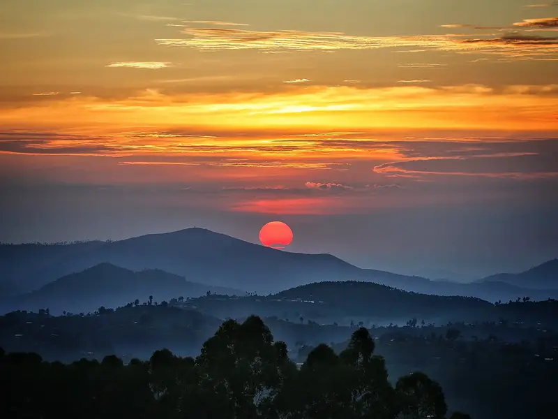 96%trees87forestNyungwe Forest
 Rwanda185 species recorded · Best month97%trees87arboretumRoyal Botanical GardenBhutan376 species recorded · Best month97%trees92forestRainforests of the Atsinanana
 Madagascar617 species recorded · Best month99%trees90forestMariposa GroveUnited States353 species recorded · Best month
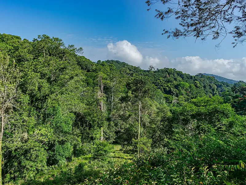 96%trees88forestAmani Nature Reserve
 Tanzania1,042 species recorded · Best month
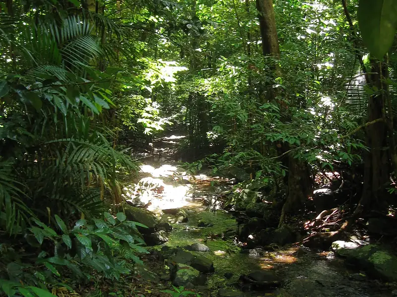 94%trees88forestDaintree RainforestAustralia982 species recorded · Best month
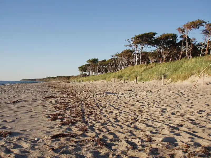 92%trees88forestDarß Forest
 Germany841 species recorded · Best month95%trees88notable treeWawona TreeUnited States187 species recorded · Best month98%trees88notable treeGrizzly GiantUnited States190 species recorded · Best month96%trees87forestNyungwe ForestRwanda185 species recorded · Best month
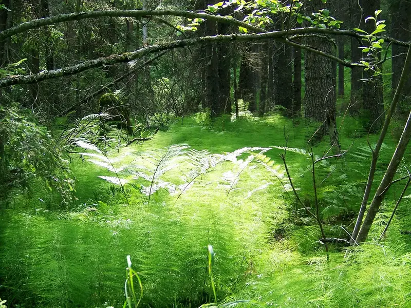 88%trees94forestSkuleskogen National Park
 Sweden837 species recorded · Best month97%trees92forestRainforests of the AtsinananaMadagascar617 species recorded · Best month
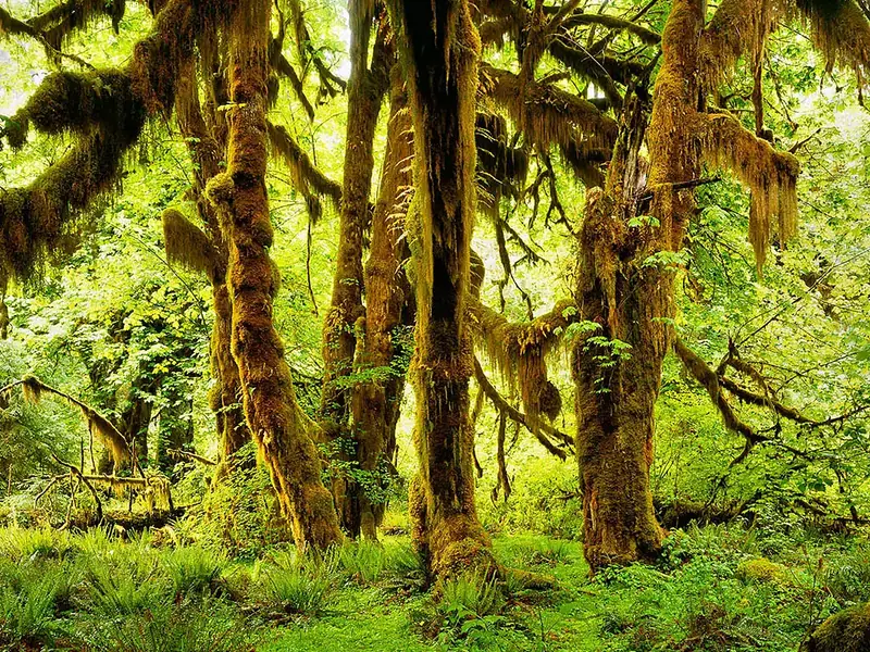 97%trees90forestHoh RainforestUnited States328 species recorded · Best month96%trees88forestAmani Nature ReserveTanzania1,042 species recorded · Best month94%trees88forestDaintree RainforestAustralia982 species recorded · Best month92%trees88forestDarß ForestGermany841 species recorded · Best month96%trees87forestNyungwe ForestRwanda185 species recorded · Best month97%trees87arboretumRoyal Botanical GardenBhutan376 species recorded · Best month97%trees92forestRainforests of the AtsinananaMadagascar617 species recorded · Best month97%trees90forestHoh RainforestUnited States328 species recorded · Best month96%trees88forestAmani Nature ReserveTanzania1,042 species recorded · Best month94%trees88forestDaintree RainforestAustralia982 species recorded · Best month92%trees88forestDarß ForestGermany841 species recorded · Best month97%trees87arboretumRoyal Botanical GardenBhutan376 species recorded · Best month99%trees87forestBudongo ForestUganda783 species recorded · Best month
 90%trees87forestQueen Elizabeth Forest Park
 United Kingdom709 species recorded · Best month97%trees92forestRainforests of the AtsinananaMadagascar617 species recorded · Best month99%trees90forestMariposa GroveUnited States353 species recorded · Best month
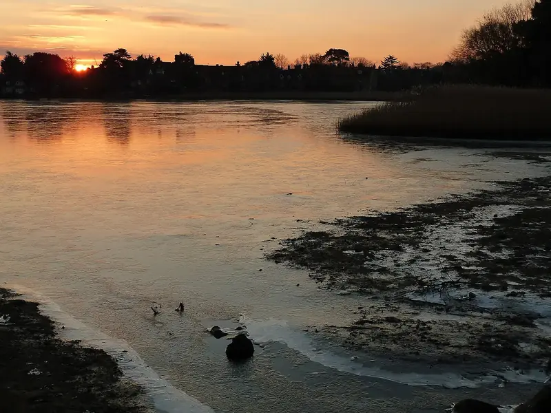 83%trees89forestNew ForestUnited Kingdom2,114 species recorded · Best month
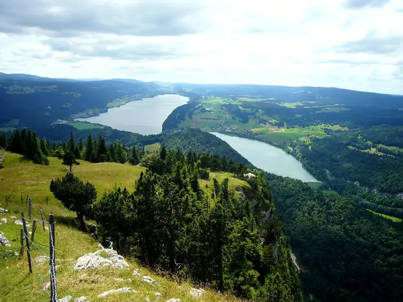 86%trees89forestRisoux
 Switzerland1,173 species recorded · Best month94%trees88forestDaintree RainforestAustralia982 species recorded · Best month96%trees88forestBiałowieża ForestBelarus240 species recorded · Best month92%trees88forestDarß ForestGermany841 species recorded · Best month95%trees88notable treeWawona TreeUnited States187 species recorded · Best month99%trees90forestMariposa GroveUnited States353 species recorded · Best month100%trees89national forestPisgah National ForestUnited States452 species recorded · Best month85%trees89national forestKaibab National ForestUnited States432 species recorded · Best month95%trees88notable treeWawona TreeUnited States187 species recorded · Best month98%trees88notable treeGrizzly GiantUnited States190 species recorded · Best month
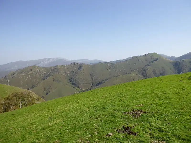 94%trees87forestIrati ForestSpain667 species recorded · Best month
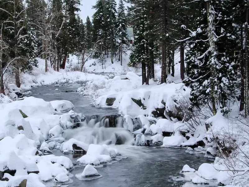 98%trees86national forestTahoe National ForestUnited States223 species recorded · Best month90%trees86national forestUwharrie National ForestUnited States212 species recorded · Best month
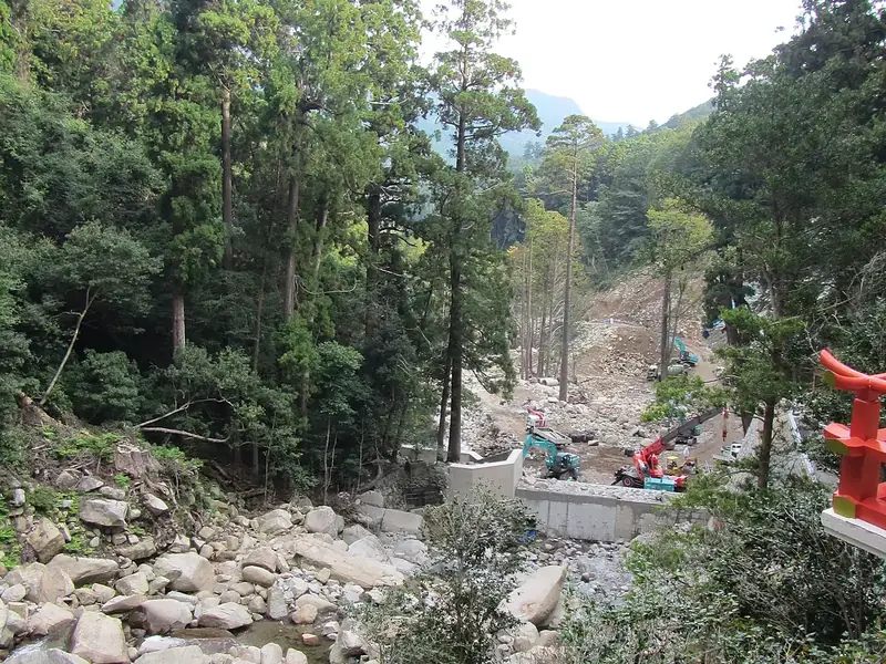 97%trees90forestNachi Primeval ForestJapan344 species recorded · Best month93%trees87national forestGola National ForestLiberia262 species recorded · Best month94%trees87national forestTombigbee National ForestUnited States253 species recorded · Best month96%trees87forestHuisun Forest Recreation AreaTaiwan677 species recorded · Best month96%trees86forestWuling National Forest Recreation AreaTaiwan618 species recorded · Best month90%trees86national forestUwharrie National ForestUnited States212 species recorded · Best month
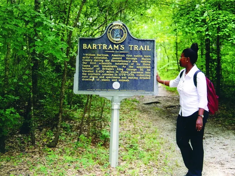 87%trees86national forestTuskegee National ForestUnited States206 species recorded · Best month
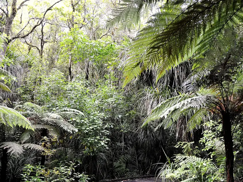 100%trees85forestWaipoua ForestNew Zealand461 species recorded · Best month86%trees92forestLaurisilva of MadeiraPortugal537 species recorded · Best month100%trees92national forestEl Yunque National ForestUnited States1,143 species recorded · Best month
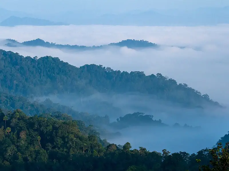 100%trees90forestKaeng Krachan Forest ComplexThailand393 species recorded · Best month96%trees89arboretumLancetilla Botanical GardenHonduras602 species recorded · Best month99%trees88forestXitou Nature Education AreaTaiwan859 species recorded · Best month86%trees87arboretumBelize Botanic GardensBelize397 species recorded · Best month93%trees87national forestGola National ForestLiberia262 species recorded · Best month
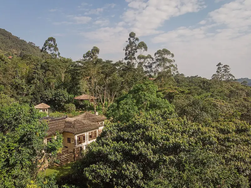 88%trees86forestBwindi Impenetrable ForestUganda512 species recorded · Best month
All the best forests for JanuaryAll the best forests for FebruaryAll the best forests for MarchAll the best forests for AprilAll the best forests for MayAll the best forests for JuneAll the best forests for JulyAll the best forests for AugustAll the best forests for SeptemberAll the best forests for OctoberAll the best forests for NovemberAll the best forests for December
Best rated
Forests worth the trip.
88%trees94forestSkuleskogen National ParkSweden837 species recorded · Jul97%trees92forestRainforests of the AtsinananaMadagascar617 species recorded · Jun–Sep99%trees92forestYanbaruJapan601 species recorded · Jan–Feb86%trees92forestLaurisilva of MadeiraPortugal537 species recorded · May, Dec100%trees92national forestEl Yunque National ForestUnited States1,143 species recorded · Dec–Mar100%trees90forestKaeng Krachan Forest ComplexThailand393 species recorded · Dec99%trees90forestAokigaharaJapan371 species recorded · May












Where the numbers come from
Measured, not guessed.
Every forest on Forestyas is measured on open data: the European Space Agency's land-cover map at 10 metres for the rings, open species records for who lives there, and NASA for the weather.
- ESA WorldCoverland cover at 10 m: the rings
- GBIFplants, fungi, birds, mammals
- Wikidata · Commonsnames in 7 languages, photos
- NASA POWERtemperature and rain, month by month
- OpenStreetMaptrails, notable trees, picnic sites, huts
The family
Do you prefer beaches, lakes, mountains, waterfalls, islands, rivers, canyons, caves, dark skies, viewpoints, birdwatching or forests?
Same idea, other landscapes: field atlases built on open data, in seven languages.
 beaches
 Find your beach: sea temperature, sun and swimming month by month.Visit
 lakes
 Every lake on Earth: water temperature, ice, depth and the shore.Visit
 mountains
 Every summit in 3D: summit weather, the 0 °C line, huts and trails.Visit
 waterfalls
 Every waterfall: height, flow month by month and when it roars.Visit
 islands
 Every island from the sea up: size, sea temperature, ferries and 3D.Visit
 rivers
 Every river from source to sea: the journey, the flow and the basin in numbers.Visit
 canyons
 Every canyon cut to scale: depth to the floor, rim and floor temperatures, trails and viewpoints.Visit
 caves
 Every cave with its real depth and length: the rock above, the temperature inside all year, and how to visit.Visit
 dark skies
 Where the night is still dark: the sky of every place, the Milky Way month by month, the Moon, eclipses and auroras.Visit
 viewpoints
 Every viewpoint with its real 360° panorama: the peaks you can name, how far you see and where the sun sets.Coming soonVisit
 birdwatching
 Every bird sanctuary and wetland with the species recorded month by month: who is resident, who comes for the summer, who only passes through.Visit
 forests
 Every forest with its land-cover rings, what grows and lives in it, and the best months to walk it.You are here