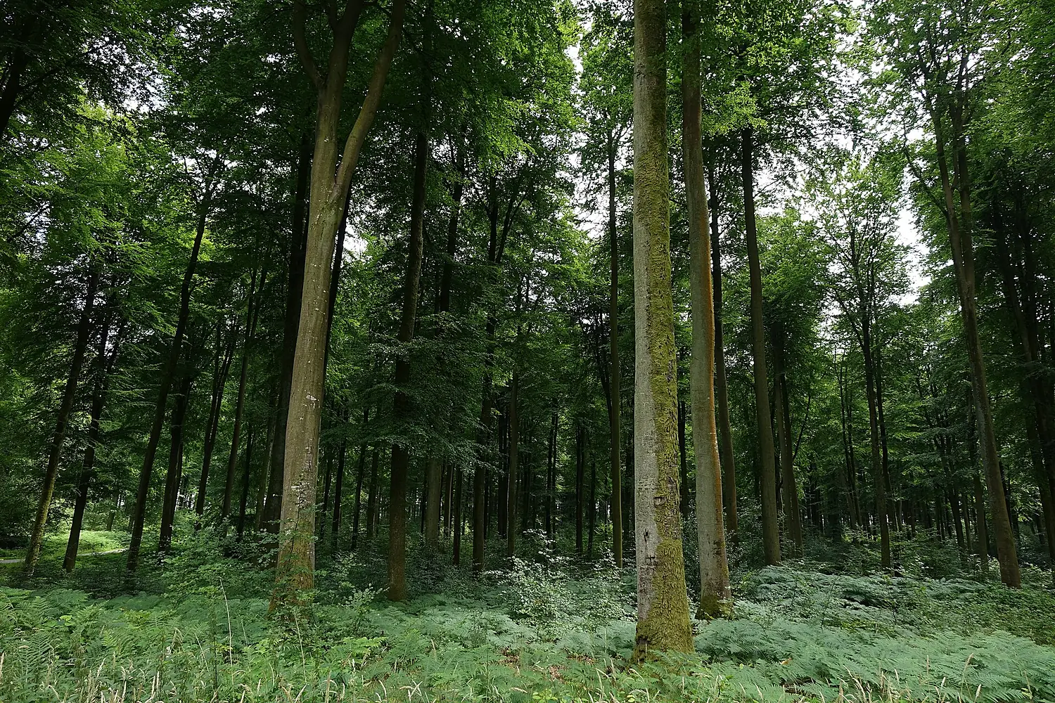
 France forest
Eawy Forest
Eponimm · CC BY-SA 4.0
64% trees around it and 750 species recorded.
- trees within 3 km64%
- wild within 10 km60%
- species recorded750
- Altitude158 m
The forest around
64% trees.
Read like the rings of a cut trunk: from the centre out, the land within 1, 3, 6 and 10 km, coloured by what covers it.
Trees, ring by ring
- 0–1 km91%
- 1–3 km60%
- 3–6 km51%
- 6–10 km26%
What covers the land (1–3 km)
- Trees60%
- Grassland10%
- Cropland29%
- Built-up0%
ESA WorldCover 2021 (10 m, from Sentinel satellites), sampled every 120 m. A clearing, a road or a lake counts as what it is.
Who lives here
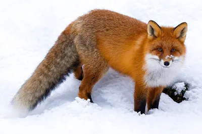
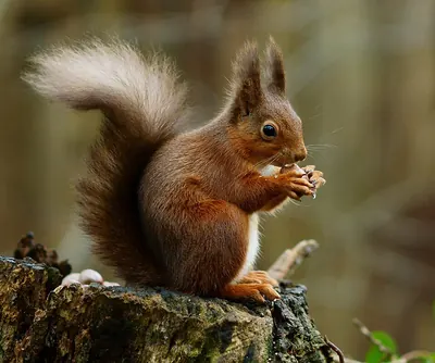
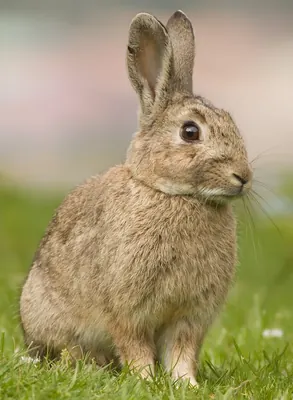
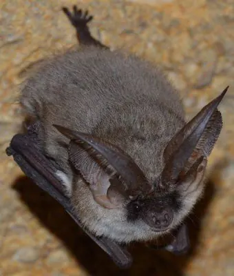
750 species recorded.
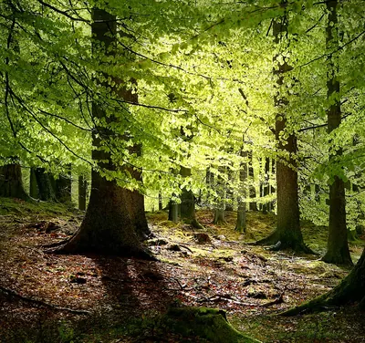
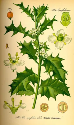
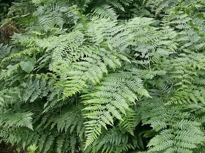
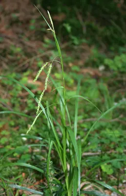
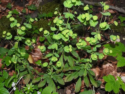
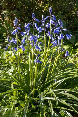
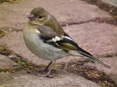
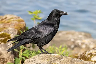
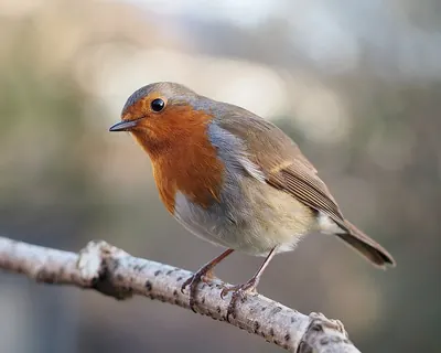
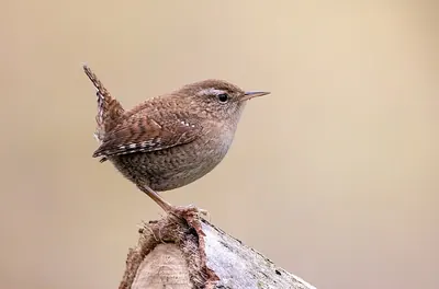
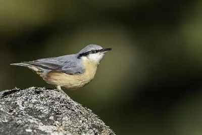
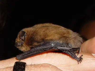
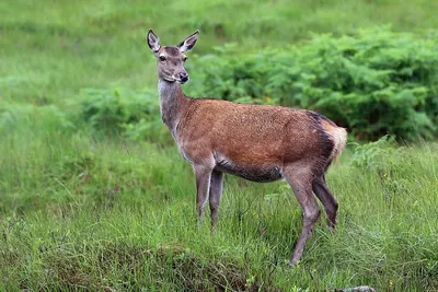
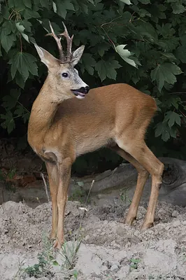
The plants, fungi, birds and mammals people have recorded here most often.

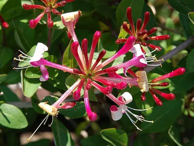
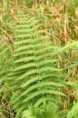
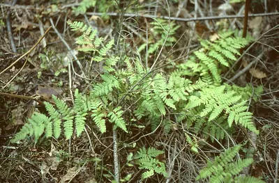
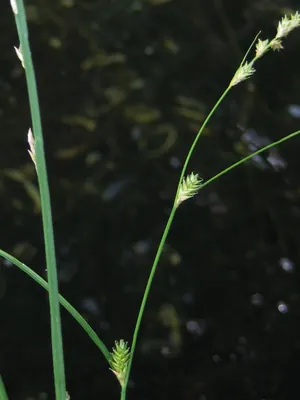
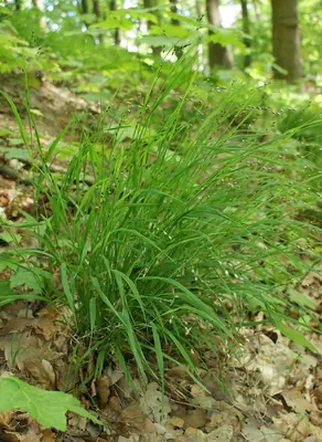
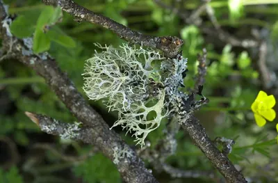
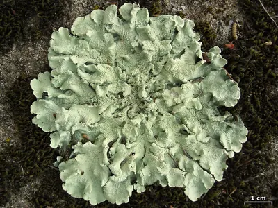
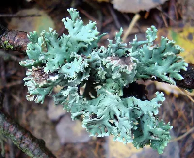
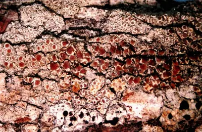
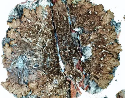
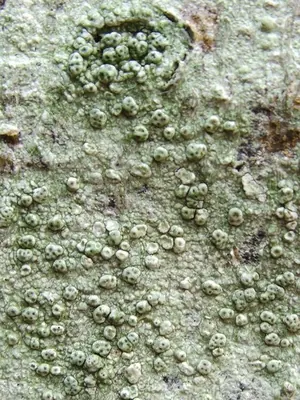
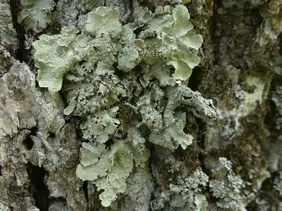
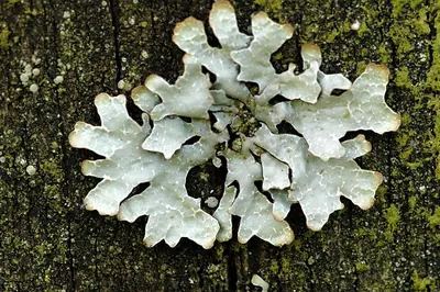
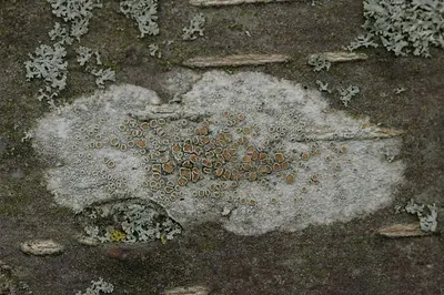
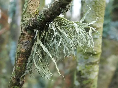
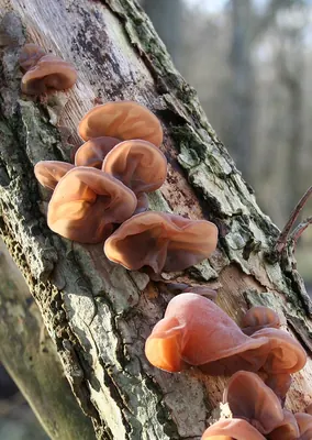
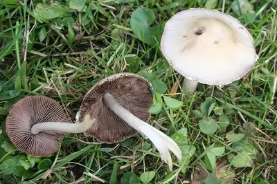
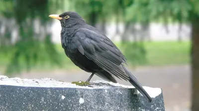
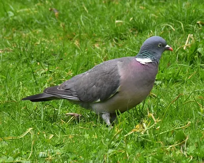
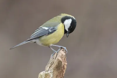
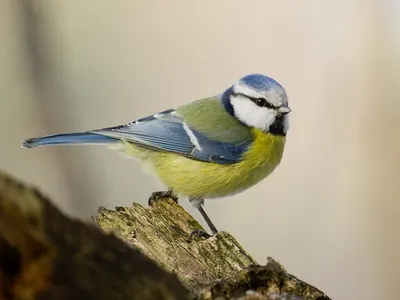
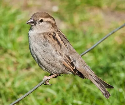
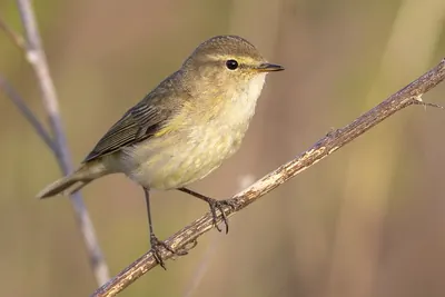
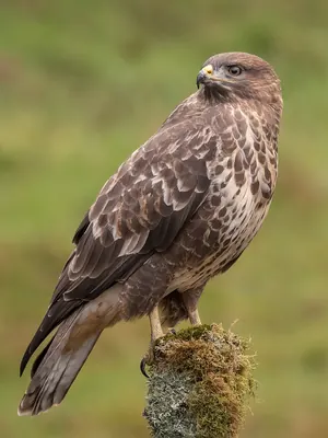
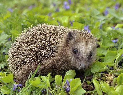 NT
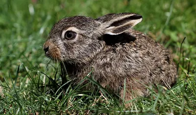
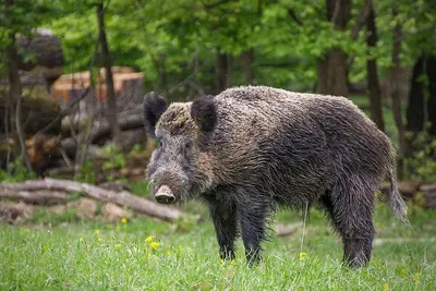
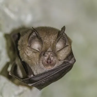

 NT
Open records within 5 km (GBIF, licensed for any use). Busy places are better recorded than remote ones.
In numbers
The forest, measured.
Our own rating, from open data only: tree cover (40 points), wildness (20), species recorded (30) and protection or heritage (10).
- 64%Treesof the land within 3 km
- 60%Wildno towns or farmland within 10 km
- 750Speciesrecorded more than once within 5 km
- 158 mAltitudeabove the sea
When to walk
Best for walking in May and in September.
How good each month is for a walk: mild days and little rain make the bar taller.
- Jan1°67 mm
- Feb0°58 mm
- Mar2°58 mm
- Apr4°44 mm
- May8°62 mm
- Jun11°56 mm
- Jul13°60 mm
- Aug13°66 mm
- Sep10°48 mm
- Oct8°72 mm
- Nov4°76 mm
- Dec2°82 mm
- Bar: walking comfort; the number on top is the average maximum.
- Below: average minimum (NASA, 1991–2020).
- Rain: monthly total.
The place
Eawy Forest.
Forest in France
Eawy Forest is a forest in France.
Seen from space, 64% of the land within 3 km is trees, and 60% of the land within 10 km has no towns or farmland.
750 species have been recorded around it: 527 plants, 45 fungi, 135 birds and 43 mammals.
The most recorded plants are: European Beech, Marsh grass of Parnassus and English holly.
The best time to walk is in May and in September.
Get there and walk
- Ferme équestre de Pommerévalcampsite · 3.5 km · 8 within 10 km
- Les Écuries du Vaudichonplace to stay · 5.2 km · 4 within 10 km
- Orivalnearest town · 3.4 km in a straight line
- Beauvais-Tillé airport (BVA)nearest airport with scheduled flights · 69 km in a straight lineCar hire at BVA airport (Beauvais)Discover Cars · sponsored link↗
Plan the visit
A guided walk, a bed nearby, a car.
Some links above are affiliate links: if you book through them we may earn a commission, at no extra cost to you. It never changes what the data on this page says.
From above
The forest and its surroundings.
The satellite image of the 6 × 6 km around the place, with the trails, notable trees, picnic sites and huts that OpenStreetMap shows.
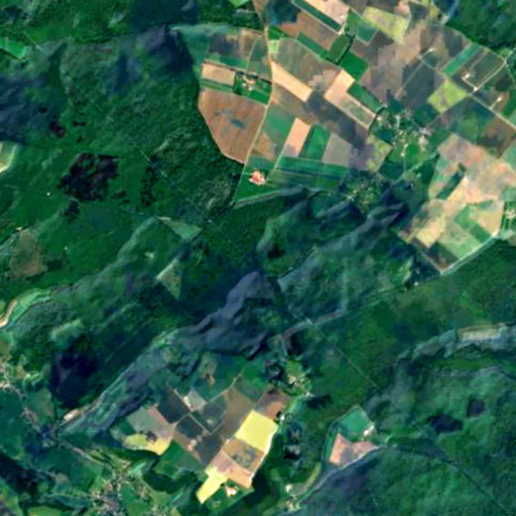
Around, in OpenStreetMap
- 12marked trails within 5 kmChemin des Écoliers, Le Puits Merveilleux, A la découverte du Val Ygot and 9 more
- 7named and notable trees within 6 kmHêtre le Père Antoine, Hêtre Rudi, Frêne les Jumeaux and 4 more
- 2picnic sites within 4 km
- 3shelters and huts within 6 km
- 1viewpoints within 5 km
- 6car parks within 3 km
- 8campsites within 10 kmFerme équestre de Pommeréval, Rêve de Bisons, Camping de l'Orival and 5 more
- 4places to stay within 10 kmLes Écuries du Vaudichon, Le Relais des Hayons and 2 more
- visitor centres within 6 km
- restaurants and cafés within 3 km
Counted in OpenStreetMap, the map anyone can edit. A low number may just mean nobody has mapped it yet.
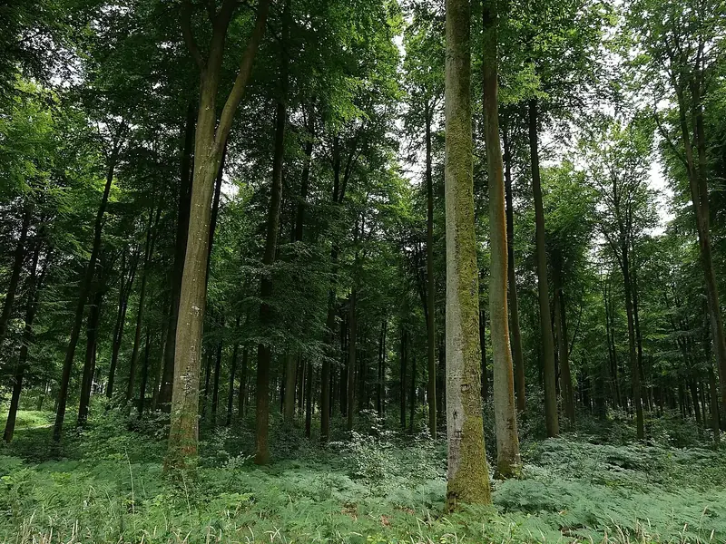
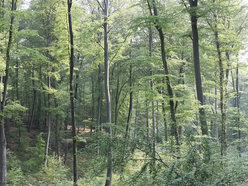
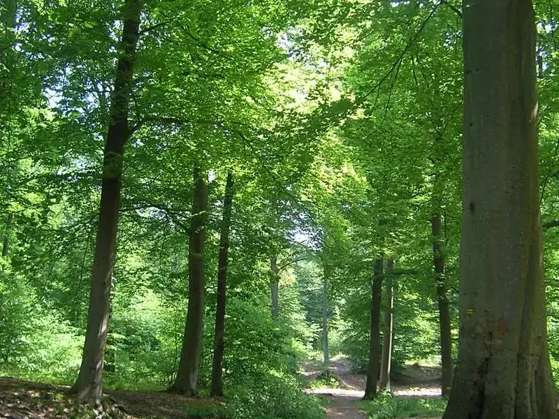
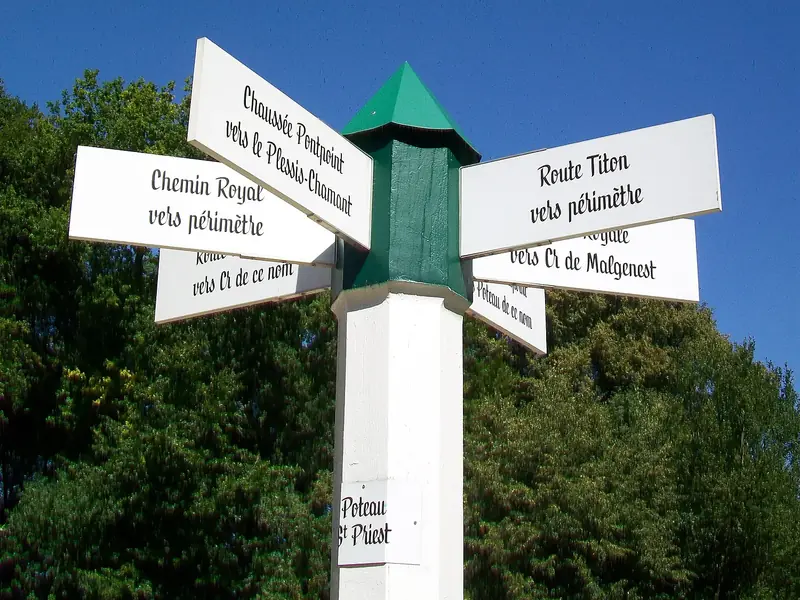
Photographs
The forest, as people saw it.
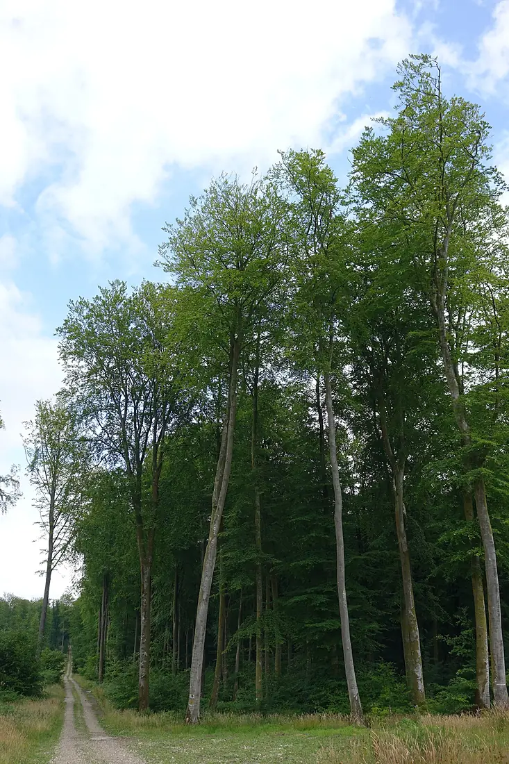
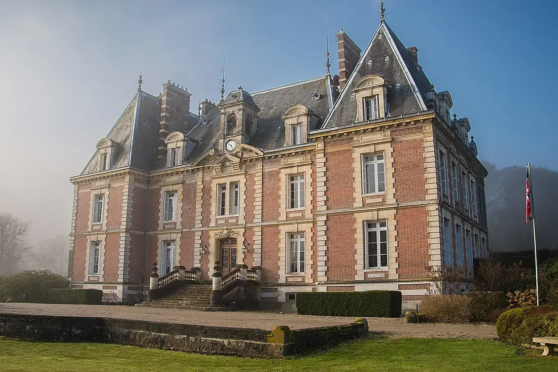
Other forests nearby.
Eawy Forest
France
- 61Forestyas Score
- 64%Trees
- 60%Wild
- 750Species
Where these figures come from
| Name and type | Wikidata (Q3078764) · CC0 |
|---|---|
| Land cover | ESA WorldCover 10 m 2021 v200 · © ESA WorldCover project / Copernicus Sentinel data · CC BY 4.0 |
| Species | 15,381 open records within 5 km (GBIF, CC0 and CC BY 4.0 only) |
| See these records | gbif.org |
| Names and photos | Wikidata (CC0); GBIF Backbone Taxonomy · CC BY 4.0; Wikimedia Commons |
| Altitude | Copernicus DEM GLO-30 · © DLR e.V., © Airbus Defence and Space GmbH, Copernicus/ESA |
| Temperature and rain | NASA POWER (CERES SYN1deg, 2001–2020; MERRA-2) |
| What is around | © OpenStreetMap contributors · ODbL |
| Images | EOX Sentinel-2 cloudless 2016 · CC BY 4.0; Wikimedia Commons |
Every figure is an average, an estimate or a count from a public dataset. Licences and methods: data sources.
The family
Do you prefer beaches, lakes, mountains, waterfalls, islands, rivers, canyons, caves, dark skies, viewpoints, birdwatching or forests?
Same idea, other landscapes: field atlases built on open data, in seven languages.
 beaches
 Find your beach: sea temperature, sun and swimming month by month.Visit
 lakes
 Every lake on Earth: water temperature, ice, depth and the shore.Visit
 mountains
 Every summit in 3D: summit weather, the 0 °C line, huts and trails.Visit
 waterfalls
 Every waterfall: height, flow month by month and when it roars.Visit
 islands
 Every island from the sea up: size, sea temperature, ferries and 3D.Visit
 rivers
 Every river from source to sea: the journey, the flow and the basin in numbers.Visit
 canyons
 Every canyon cut to scale: depth to the floor, rim and floor temperatures, trails and viewpoints.Visit
 caves
 Every cave with its real depth and length: the rock above, the temperature inside all year, and how to visit.Visit
 dark skies
 Where the night is still dark: the sky of every place, the Milky Way month by month, the Moon, eclipses and auroras.Visit
 viewpoints
 Every viewpoint with its real 360° panorama: the peaks you can name, how far you see and where the sun sets.Coming soonVisit
 birdwatching
 Every bird sanctuary and wetland with the species recorded month by month: who is resident, who comes for the summer, who only passes through.Visit
 forests
 Every forest with its land-cover rings, what grows and lives in it, and the best months to walk it.You are here